
Carlos Lopes and the victory of an African idea
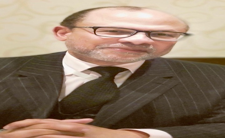
164 votes in favor. The United Nations General Assembly approved a resolution advocating the use of cartographic representations that show Africa and the other continents in their true proportions. It is a decision of great symbolic, educational, and political value: the world is finally beginning to correct an image that, for centuries, has visually diminished Africa and influenced the perception of its territorial, human, and strategic importance.
This victory has several protagonists and should be rigorously recognized. The diplomatic initiative was led by Togo, on behalf of the African Union, and benefited from the mobilization of the Correct The Map campaign, driven by the organizations Africa No Filter and Speak Up Africa. The resolution, although non-binding, was approved by 164 Member States, with only one vote against and six abstentions. Reuters and Associated Press
In this collective movement, it is important to highlight the role of Professor Carlos Lopes. Not as an institutional representative, nor as the sole author of the diplomatic victory, but as one of the intellectual voices that grounded, gave consistency to, and propelled this cause.
For years, Carlos Lopes has drawn attention to the fact that maps are not innocent representations. The traditional Mercator projection, conceived in the 16th century to meet navigational needs, visually enlarges regions closer to the poles and reduces the apparent size of landmasses located near the equator. Africa, with more than 30 million square kilometers, thus appears much smaller than it actually is.
This distortion produces not only a visual error, but also psychological, educational, and political consequences. Entire generations have grown up with maps that presented Africa as a relatively modest continent, when in reality its surface area is about fourteen times larger than that of Greenland. By diminishing Africa on the map, we have also contributed to diminishing, in the collective imagination, its economic, demographic, cultural, and geopolitical importance.
It was against this distortion that Carlos Lopes wrote, spoke, and argued. In books, articles, and public interventions, he explained that representing Africa in its true dimension is part of a broader struggle against the stereotypes and narratives that continue to marginalize the continent. His contribution helped elevate a seemingly technical issue to the level of historical justice and political dignity.
Carlos Lopes' merit lies precisely there: in his ability to connect cartography, power, and development. For him, correcting the map doesn't just mean replacing one image with another. It means correcting the way Africa is taught, perceived, and positioned in the world. It means demonstrating that representation also produces hierarchies and that recovering the continent's true dimensions can strengthen Africans' confidence in their own capacity for action.
This cause is consistent with his entire intellectual trajectory. Carlos Lopes has defended an Africa capable of thinking for itself, structurally transforming its economies, industrializing, integrating its markets, and negotiating with greater sovereignty in the international system. Cartographic justice embodies this same vision: Africa must cease to be represented by categories that reduce it and begin to occupy the space that truly belongs to it.
It is equally a source of pride to recall that Carlos Lopes was born in Canchungo, Guinea-Bissau, and studied at the Kwame Nkrumah High School. From a small African country, he built a career of global importance, holding important positions in the United Nations and the African Union, and establishing himself as one of the most respected voices in contemporary thought on African development.
Therefore, without undue appropriation and without diminishing the merit of the States, organizations, and activists who led this campaign, we must acknowledge the importance of their contribution. Carlos Lopes did not receive an institutional mandate to negotiate the resolution and did not claim a collective victory for himself. He offered something equally indispensable: thought, arguments, persistence, and intellectual authority.
Diplomats turned the cause into a resolution. States converted it into 164 votes. But it was thinkers and activists like Carlos Lopes who helped transform a seemingly normal cartographic distortion into a global issue of truth, dignity, and justice.
And yes, believe it or not: Carlos Lopes is from Guinea-Bissau.
The world has recognized the true magnitude of Africa. Perhaps it is also time for Guinea-Bissau to fully acknowledge the magnitude of one of its most illustrious sons.
Outras noticias
Culture
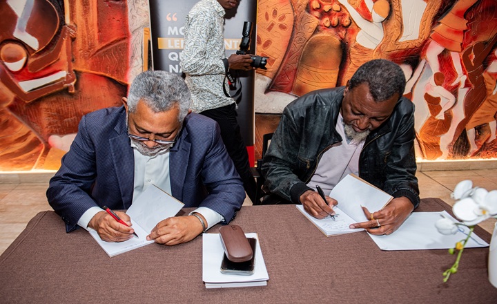
Launched at BCI, a book that immortalizes memories and humor of Zambézia
2026-10-02

Society
International Coffee Day
2026-10-02
Society
Minister Mathlombe squanders his term on empty promises
2026-10-02
policy
Constitutional Council Awards Purchase of Luxury Vehicles for 49.5 Million Meticais
2026-10-01

Culture
International Coffee Day: Aroma, Flavor, and History
2026-09-30
Copyright Jornal Preto e Branco All rights reserved . 2025